Miles Hiked: 12.1
Miles Left: 1802.2
Ending Location: OverMountain Shelter
I don’t know what it was but I woke up this morning raring to go. I had my gear packed even before Owl had started breaking down his tent so I headed out alone. The plan was we’d meet up for lunch or barring that at the over-mountain shelter that night.
We camped at the base of Roan mountain so that was the climb that greatest me. Roan mountain is the last peak we’ll cross until New England that’s over 6k in elevation. Starting off it wasn’t that bad, but even though the guidebook warned of several false peaks it was still disappointing every time I hit one to see even more “up” hiding behind it. The weather had warmed up significantly so the lower sections were dry and ice free but near the actual top it became a skating rink. After a bit of sliding around in denial I finally stopped to put my micro spikes on and boy did they make a difference. This was the first time in the over 300 miles I’ve been lugging those things where it would have been a problem if I had shipped them back home.
I ended going up the side trail to the Roan Mountain shelter for lunch. It has the distinction of being the highest shelter on the AT. Let me tell you, if a shelter is distinctive you probably don’t want to stay there. Unlike most of the other shelters this one was essentially a house with an attic hikers can sleep in. While four actual walls would keep the wind out, the whole thing was dank, dusty, and dirty. I decided to eat my lunch on some rocks outside instead.
After waiting a while for Owl I finally decided to start heading down. This side of the mountain received more sun which meant the ice was rapidly melting so I found myself either walking in a river or on a thin sheet of ice that would randomly break into the water below it. Basically it was another wet socks day.
At the bottom of the mountain I ran into Owl who had just returned from filtering water. Apparently he had skipped the shelter altogether. After filling up our bottles we then started together up the Roan Highlands which are a series of balds. Our Southlander friends had described them as like the White Mountains without any of the work. I won’t say they were easy, but you certainly get some views without having to climb 2k.
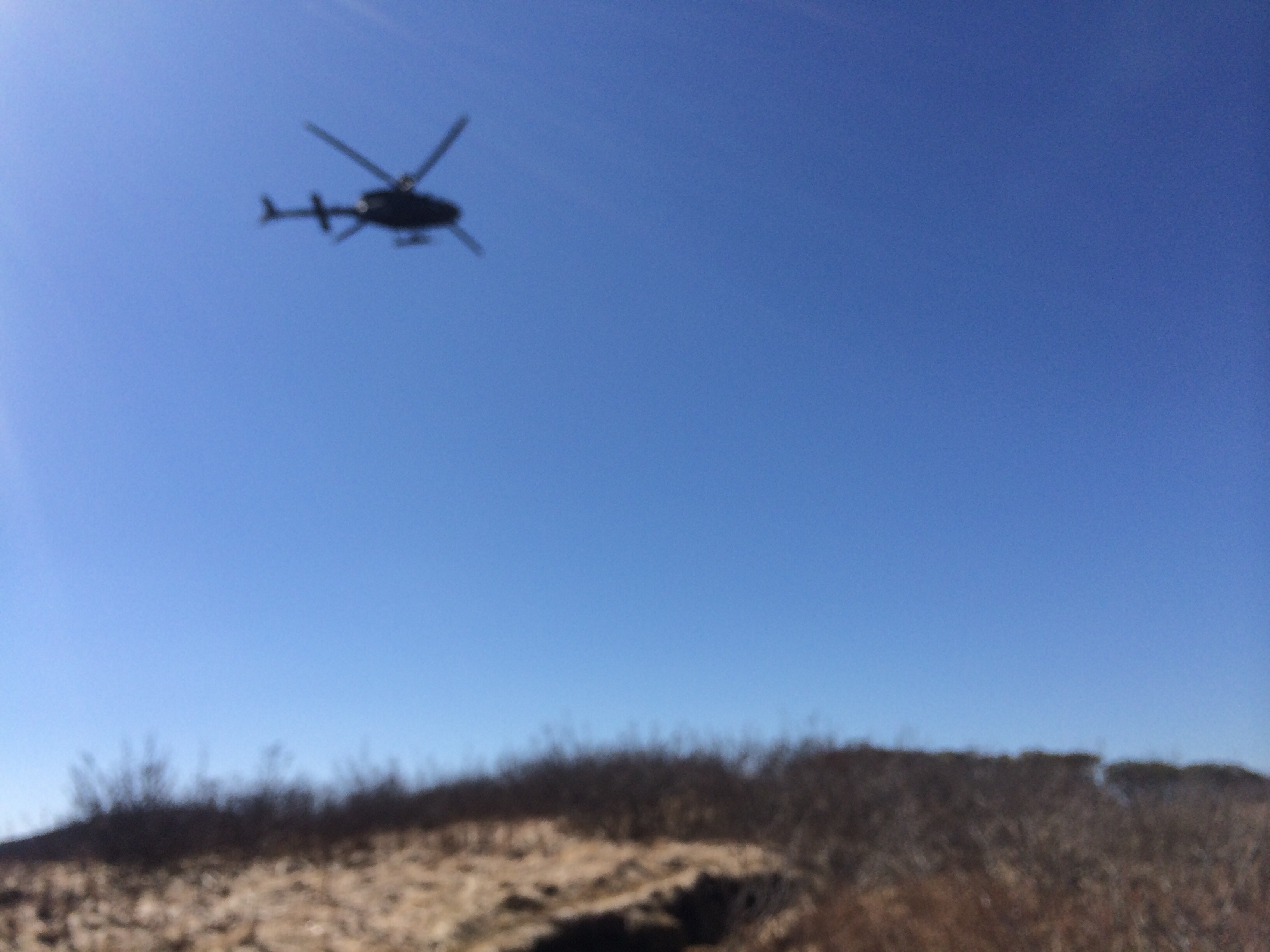
On one ridge line we were able to take part in an army training exercise as attack choppers would hide behind the mountain and then pop up to perform simulated attack runs on us. It would have been a bad day to be Taliban. It was fun and I guess this is pretty realistic for them as well.
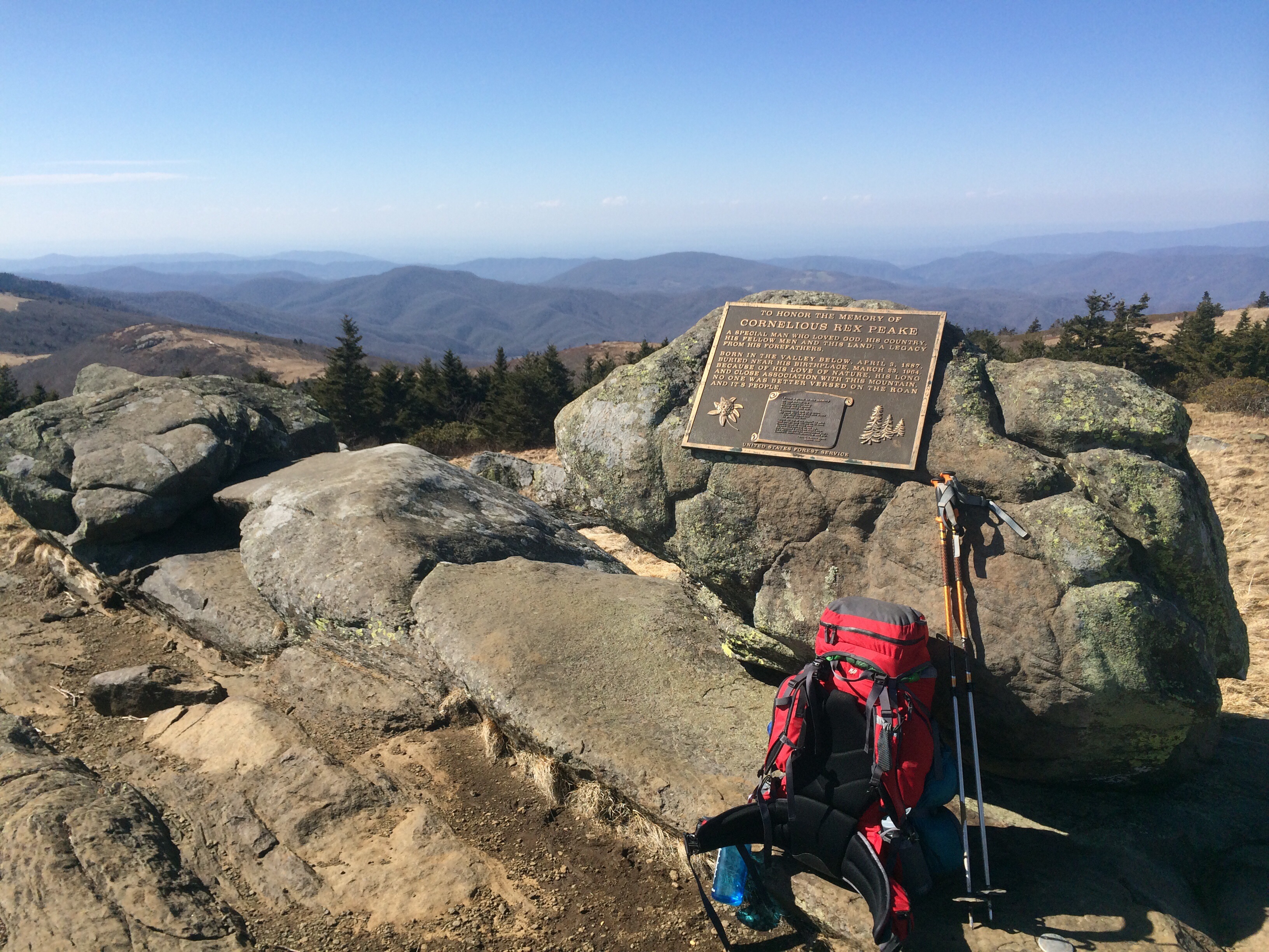
While Owl stopped for lunch on Round Bald I split off again to take a 0.6 mile side trail up Grassy Ridge Bald. It was the highest of all the balds but not on the actual AT. While it was a “wasted” 1.2 miles round trip since it didn’t count I wanted to see it because back in Georgia a nice older couple made us promise to take the time to check out the view. Considering they gave us their phone number and offered to help us if we hit any trouble it seemed like the right thing to do. I’m glad I listened to them as not only was it spectacular, but I had the whole mountain to myself which was a fun feeling. One thing I’m still getting adjusted to is how crowded the AT is.
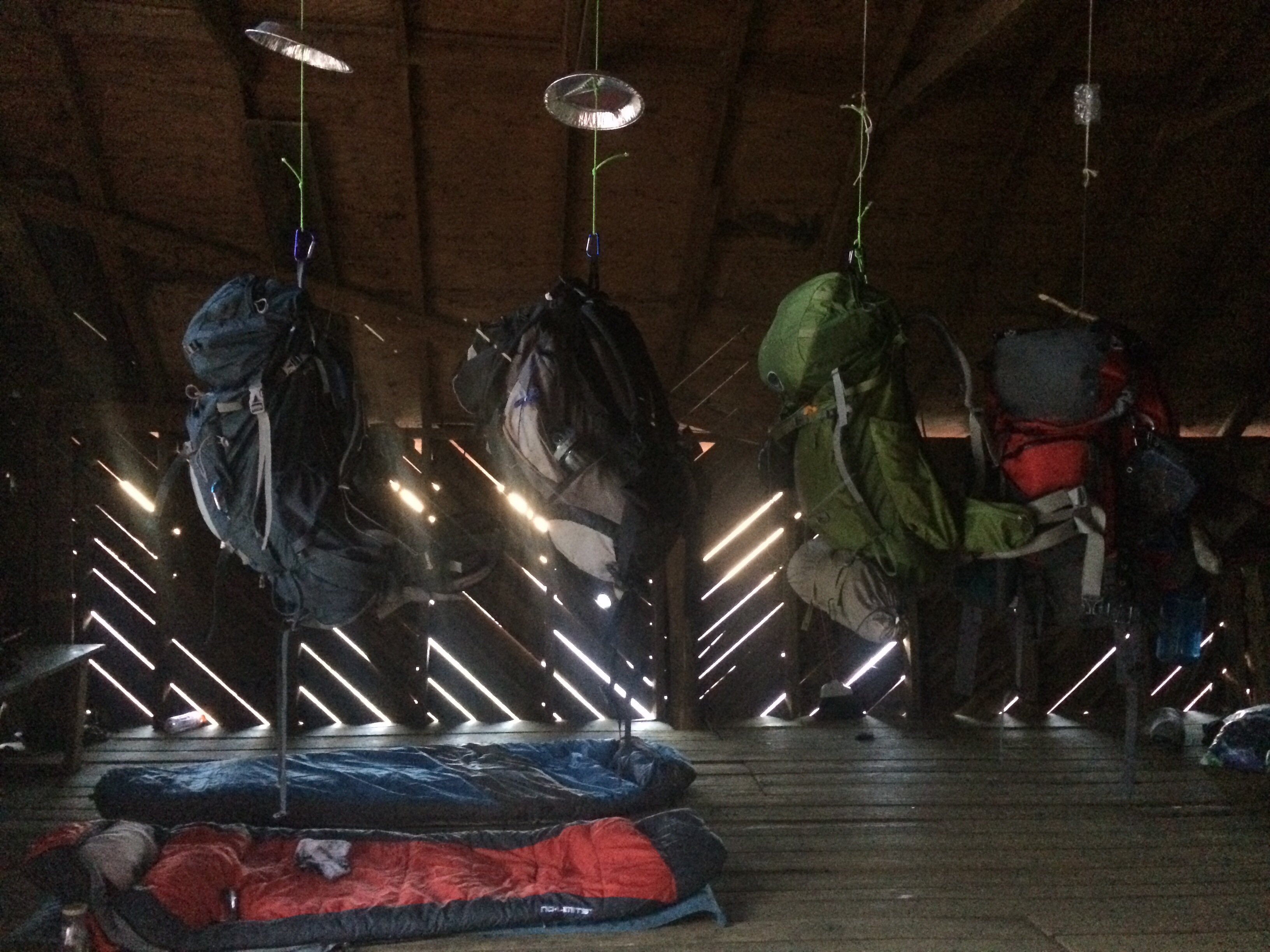
We ended the day at the OverMountain shelter. At one point it was a barn before it had been converted into sleeping accommodations so there was tons of space for us to lay out our stuff in the loft. At night some kids drove up a nearby road, blasted their music and went mudding which added to the ambiance.